


LOUISIANA — An isolated tornado threat cannot be ruled out in parts of Louisiana on Saturday as scattered storms redevelop across the region, according to the National Weather Service’s Storm Prediction Center.
While the primary focus for severe weather — including a moderate risk — is centered over Oklahoma and north Texas, Louisiana sits on the southeastern edge of the broader storm system affecting the southern Plains and ArkLaTex region.
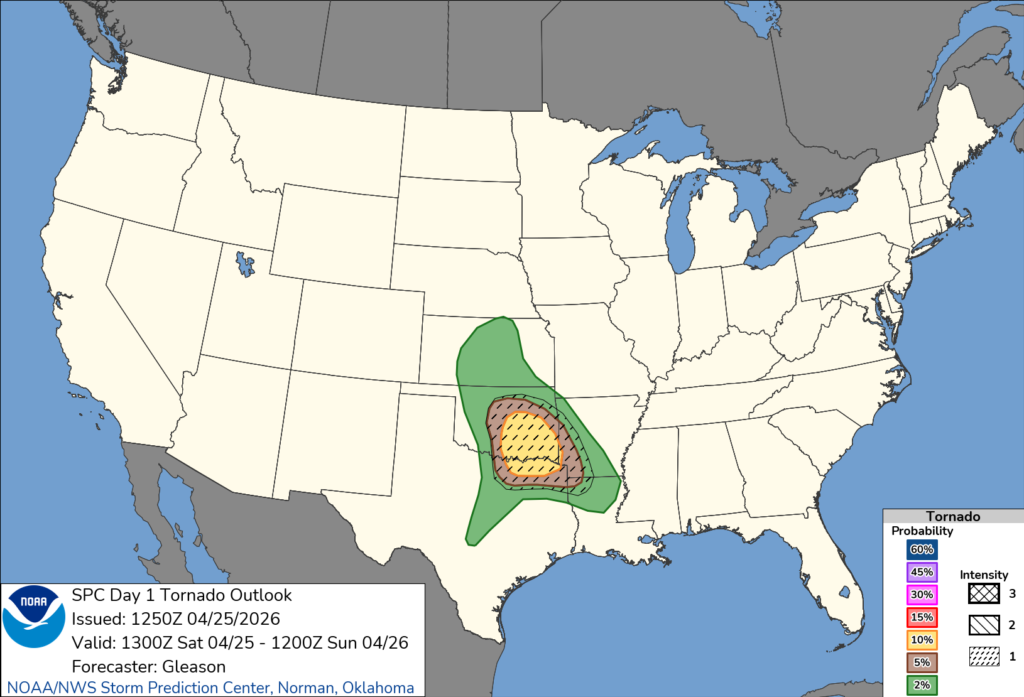
Forecasters say a weakening line of storms has already moved offshore along the Gulf Coast, leaving behind a rain-cooled and more stable air mass across much of Louisiana. This has limited widespread severe weather potential early in the day.
However, meteorologists expect the atmosphere to gradually recover, especially along lingering outflow boundaries across the state. If storms are able to redevelop later Saturday, a few could become strong enough to produce isolated severe weather.
The Storm Prediction Center indicates that any storms that form may carry a limited risk for damaging winds, hail and a brief tornado, particularly if they remain surface-based and interact with localized boundaries.
Overall, the tornado threat in Louisiana is expected to remain low and isolated compared to areas farther north, but residents are still urged to stay alert for changing weather conditions and monitor for any warnings that may be issued.


