


MISSISSIPPI — Mississippi residents should be prepared for the possibility of strong to severe thunderstorms Friday, with forecasters warning that isolated damaging wind gusts are possible across portions of the state.
The Storm Prediction Center has included parts of Mississippi in a Marginal Risk, or Level 1 of 5, for severe weather.
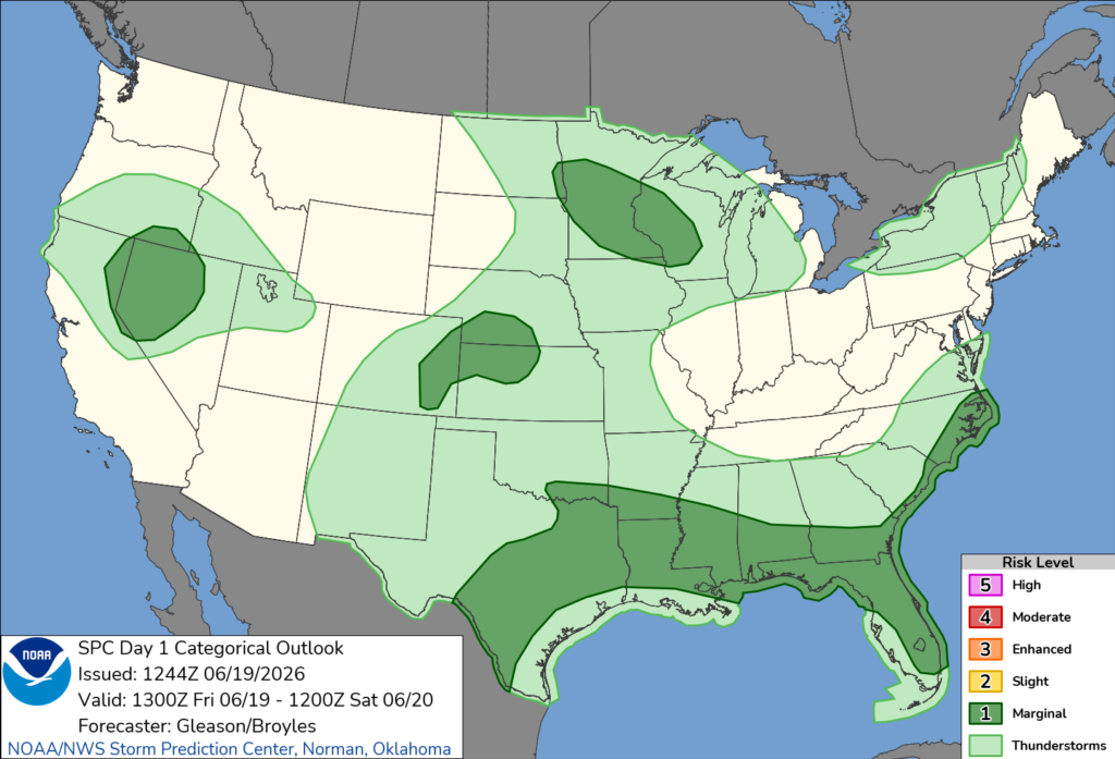
Forecasters said a cold front stretching across Texas into the lower Mississippi Valley, combined with a warm, humid air mass and daytime heating, is expected to fuel thunderstorms through the afternoon. While wind shear is expected to remain relatively weak, some storms could still become strong enough to produce isolated damaging wind gusts.
Meteorologists noted that confidence in the development of a more organized severe weather system remains low, but scattered thunderstorms moving through the region may still contain stronger wind-producing cores.
A Marginal Risk means isolated severe storms are possible. The primary threat in Mississippi is expected to be damaging straight-line winds, though frequent lightning and heavy rainfall are also possible with stronger storms.
Residents are encouraged to stay weather aware throughout the day, monitor the latest forecasts, and have multiple ways to receive weather warnings if severe weather develops.


