


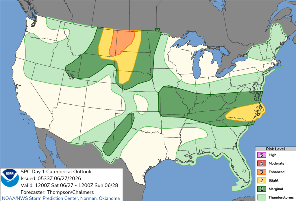
SOUTH CAROLINA — Parts of eastern South Carolina are under a slight risk (Level 2 of 5) for severe thunderstorms on Saturday, while much of the remainder of the state is included in a marginal risk (Level 1 of 5), according to the National Weather Service’s Storm Prediction Center.
The slight risk covers portions of the eastern part of the state, including areas near the Grand Strand and Pee Dee, where scattered severe thunderstorms are possible. Most other areas of South Carolina are under a marginal risk, meaning isolated severe storms could develop.
Forecasters say the strongest storms may produce damaging wind gusts, large hail and frequent lightning. Heavy downpours could also lead to localized flooding in some areas.
Thunderstorms are expected to develop during the afternoon and evening as warm, humid conditions remain in place across the region.
Residents are encouraged to stay alert for changing weather conditions and monitor forecasts throughout the day. Those in areas where severe thunderstorm or tornado warnings are issued should be prepared to seek shelter immediately.


