


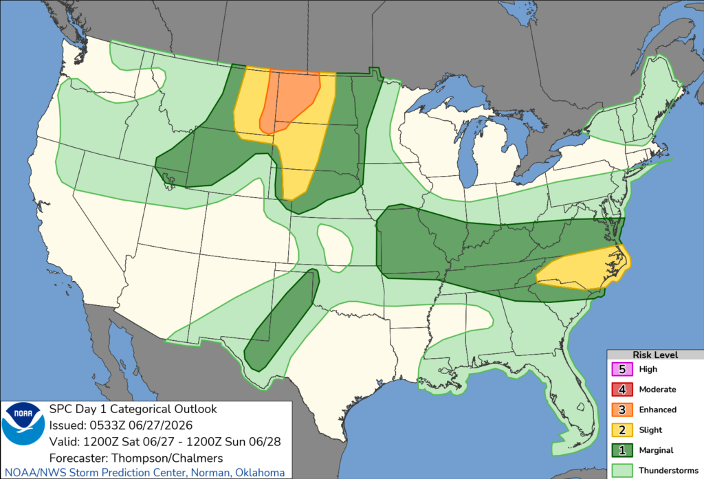
TENNESSEE — Much of Tennessee is under a marginal risk (Level 1 of 5) for severe thunderstorms on Saturday, according to the National Weather Service’s Storm Prediction Center.
The outlook places nearly the entire state in the marginal risk area, meaning isolated severe thunderstorms are possible during the afternoon and evening hours.
Forecasters say the strongest storms could produce damaging wind gusts, hail and frequent lightning. Locally heavy rainfall is also possible, which could result in isolated flooding in areas that receive repeated rounds of storms.
While the greatest threat for widespread severe weather is expected farther north across parts of the northern Plains, Tennessee remains at risk for a few stronger thunderstorms as warm, humid conditions combine with an approaching weather system.
Residents are encouraged to monitor the latest forecasts and have multiple ways to receive weather warnings. Anyone in the path of a severe thunderstorm should be prepared to seek shelter if warnings are issued.


