


TEXAS — A significant severe weather threat is expected to impact parts of Texas on Tuesday, raising concerns that schools in some districts could close or dismiss early due to hazardous conditions.
According to the National Weather Service’s Storm Prediction Center, an “enhanced risk” of severe thunderstorms has been issued for north-central and northeast Texas. Forecasters warn that storms could bring large to very large hail, damaging winds and the possibility of tornadoes.
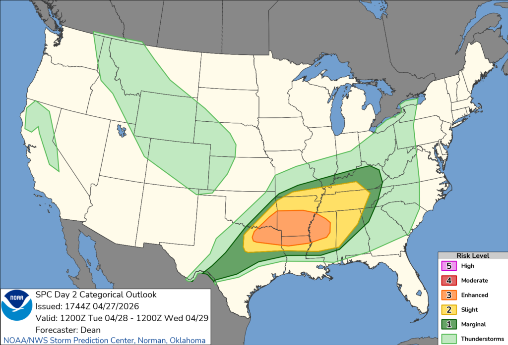
The severe weather is expected to develop Tuesday afternoon and continue into the evening, with conditions capable of producing widespread impacts. Strong instability and favorable wind patterns may support powerful storms, including supercells that could generate tornadoes.
School officials across the region are closely monitoring the forecast, as the threat of damaging winds and heavy rainfall could lead to power outages, downed trees and flooded roadways — all of which can disrupt school operations and transportation.
Districts may opt for early dismissals or closures to ensure students and staff are not traveling during the most dangerous conditions. Bus routes, in particular, could be affected by high water or debris on roads.
Emergency managers also warn that rapidly changing weather conditions could make afternoon pickup times especially hazardous if storms intensify during peak dismissal hours.
The Storm Prediction Center said storms may evolve into clusters or a larger system moving eastward, increasing the risk for widespread wind damage into the evening hours.
Residents are urged to stay weather-aware, monitor local forecasts and be prepared for possible changes to school schedules as the situation develops.


