


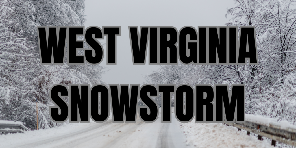
WEST VIRGINIA — The National Weather Service has issued a Winter Storm Warning for multiple counties across West Virginia, with heavy snow and strong winds expected from early Sunday through Monday morning.
Snowfall and Impact
Affected areas could see snow accumulations between 3 to 10 inches, depending on location and elevation.
Winds may gust up to 35 mph, creating hazardous travel conditions and possible power outages due to snow-laden tree limbs.
A flash freeze is also possible Sunday night into Monday morning as temperatures drop significantly.
Counties Affected
The Winter Storm Warning covers parts of central, northern, northeast, southeast, and southern West Virginia, including:
- North-Central & Northeast WV: Taylor, Upshur, Barbour, Randolph, Pocahontas, Nicholas, and Webster counties.
- Southern & Central WV: Lincoln, Kanawha, Roane, Calhoun, Mingo, Logan, Boone, Clay, Braxton, Gilmer, Lewis, Harrison, McDowell, Wyoming, Raleigh, and Fayette counties.
- Eastern WV: Preston, Tucker, Monongalia, Grant, Mineral, Pendleton, Hardy, and Hampshire counties.
Timing and Travel Impact
The warning is in effect from 1 a.m. Sunday to 8 a.m. Monday, with the heaviest snowfall expected Sunday.
Hazardous road conditions may disrupt the Monday morning commute, and blowing snow could further reduce visibility.
Safety Precautions
Authorities urge residents to avoid unnecessary travel. If travel is required, drivers should carry an emergency kit, including a flashlight, food, and water.
Road condition updates can be accessed by dialing 511 or visiting state transportation websites.
For the latest weather updates, visit weather.gov/rlx or follow the National Weather Service on social media.


