


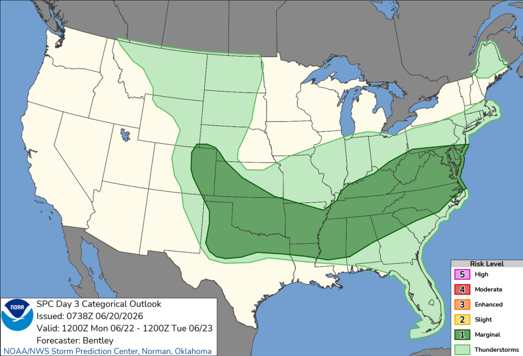
NORTH CAROLINA — The Storm Prediction Center has placed much of North Carolina under a Marginal Risk (Level 1 of 5) for severe thunderstorms on Monday, with damaging wind gusts expected to be the primary hazard.
Forecasters say a cold front moving eastward into the Carolinas will interact with a warm, humid air mass, creating conditions favorable for isolated strong to severe thunderstorms Monday afternoon and evening.
While atmospheric instability is expected to be somewhat limited due to weak mid-level lapse rates, moderate wind shear combined with sufficient instability and steep low-level lapse rates could allow some storms to become severe.
The greatest threat from any severe storms will be damaging straight-line winds, although frequent lightning, heavy rainfall and locally gusty winds will also be possible in stronger thunderstorms.
The severe weather threat extends across the Carolinas and into the Mid-Atlantic, with additional areas of severe weather expected farther west across the Mid-South, southern Plains and central High Plains.
Residents across North Carolina are encouraged to monitor the latest forecasts and be prepared to take action if severe thunderstorm warnings are issued Monday afternoon or evening.


