


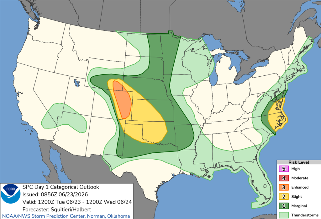
NORTH CAROLINA — Parts of North Carolina are at risk for severe thunderstorms Tuesday, June 23, as a cold front moves toward the East Coast, according to the National Weather Service’s Storm Prediction Center.
The Storm Prediction Center has placed portions of eastern North Carolina under a Slight Risk (Level 2 of 5) for severe weather through early Wednesday morning. Areas outside the Slight Risk remain under a Marginal Risk (Level 1 of 5), meaning isolated severe storms are possible.
Forecasters say the greatest threat in North Carolina will be damaging straight-line winds, although a brief tornado cannot be ruled out.
Thunderstorms are expected to develop from late morning into the afternoon as temperatures climb into the 80s and humid conditions create an unstable atmosphere. Storms are expected to organize into a line along and ahead of an approaching cold front.
The Storm Prediction Center said the combination of strong wind shear and unstable air will support severe thunderstorms capable of producing damaging wind gusts. While the primary hazard is expected to be wind damage, localized conditions could also allow for a brief tornado to develop.
Residents across North Carolina are encouraged to monitor the latest forecasts and be prepared to seek shelter if severe thunderstorm or tornado warnings are issued.


