


TEXAS — UPDATE: The watches have expired.
—
A Severe Thunderstorm Watch has been issued for a large portion of the Texas Panhandle and South Plains until 11 p.m. CDT Thursday as strong to severe thunderstorms are expected to develop across the region.
According to the National Weather Service’s Storm Prediction Center, the watch includes 41 Texas counties stretching from the Panhandle into the South Plains. Counties under the watch include Armstrong, Bailey, Briscoe, Carson, Castro, Childress, Cochran, Collingsworth, Cottle, Crosby, Dallam, Deaf Smith, Dickens, Donley, Floyd, Garza, Gray, Hale, Hall, Hansford, Hardeman, Hartley, Hemphill, Hockley, Hutchinson, Lamb, Lubbock, Lynn, Moore, Motley, Ochiltree, Oldham, Parmer, Potter, Randall, Roberts, Sherman, Swisher, Terry, Wheeler and Yoakum.
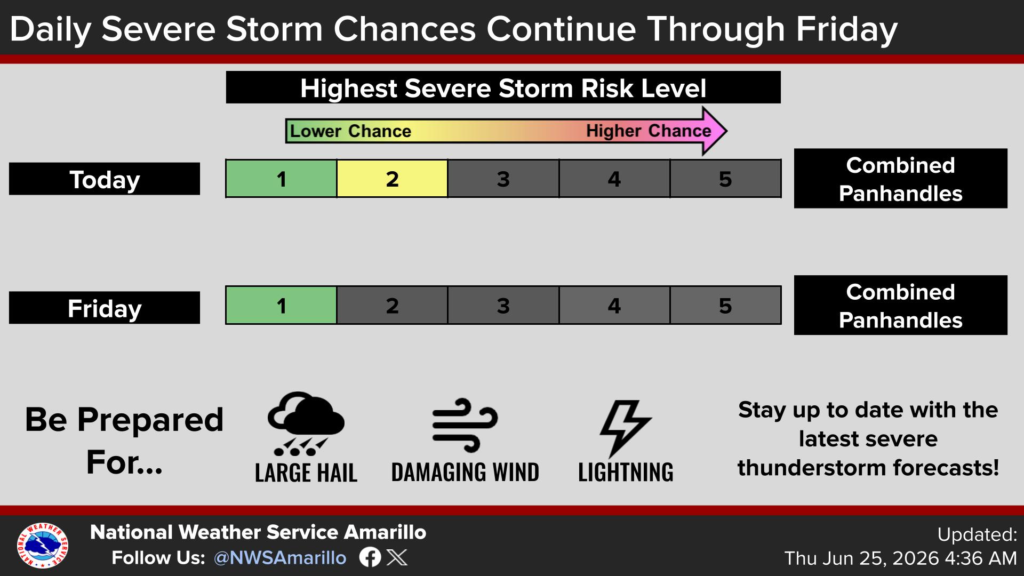
The National Weather Service in Amarillo says the Texas Panhandle remains under a Level 2 out of 5 risk for severe thunderstorms Thursday before the threat decreases to a Level 1 risk on Friday.
Forecasters warn that the strongest storms could produce large hail, damaging wind gusts and frequent lightning. Residents are encouraged to stay weather aware throughout the evening, have multiple ways to receive warnings, and be prepared to take shelter if severe thunderstorms approach.


