


NORTH CAROLINA — North Carolina could see isolated severe thunderstorms Thursday as the remnants of Tropical Storm Arthur move through the Southeast, according to the National Weather Service’s Storm Prediction Center.
Forecasters say scattered thunderstorms are expected to develop within a very warm and humid air mass across the region. Damaging wind gusts will be the primary threat, though a tornado or two cannot be ruled out.
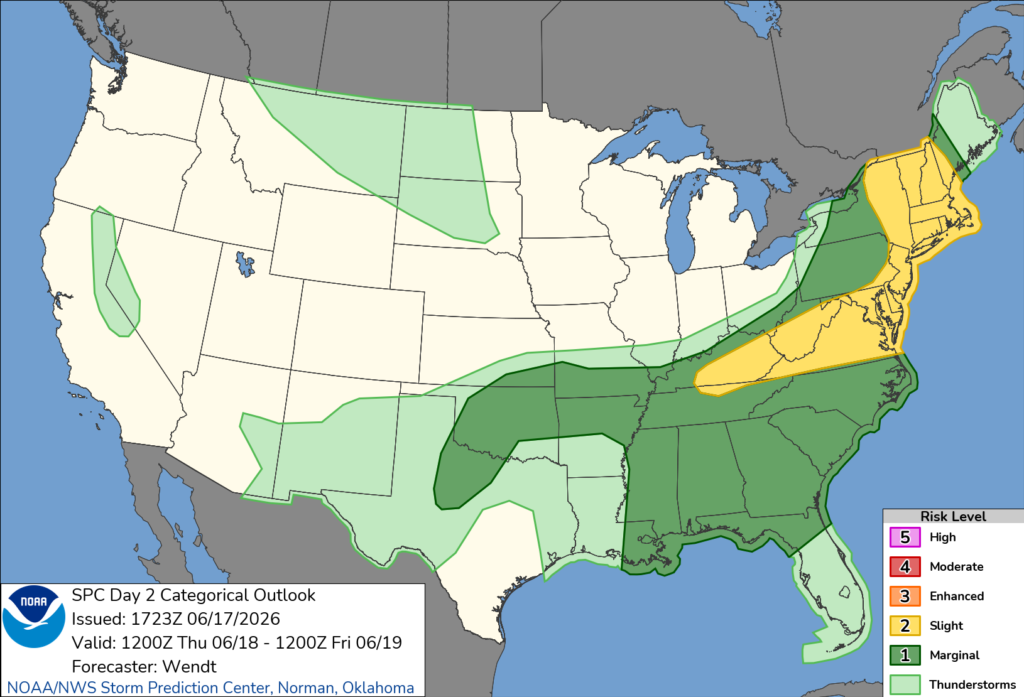
The remnants of Arthur are expected to move through the Southeast on Thursday, bringing abundant moisture and increasing the potential for showers and thunderstorms. Dew points are forecast to remain above 70 degrees, creating favorable conditions for storm development.
Meteorologists say wind patterns associated with the remnant circulation could enhance the risk of severe weather across portions of North Carolina. While widespread severe weather is not expected, some storms may become strong enough to produce damaging winds and isolated tornadoes.
The Storm Prediction Center notes that the overall severe threat is expected to remain limited due to weaker atmospheric conditions aloft. However, any stronger storms that develop could still pose a risk to residents and motorists.
North Carolinians are encouraged to stay aware of changing weather conditions Thursday and have multiple ways to receive watches and warnings throughout the day.


