


TENNESSEE — Schools across parts of Tennessee could face closures or early dismissals Monday as a widespread severe weather threat develops across the region, according to the National Weather Service’s Storm Prediction Center.
Forecasters say strong to severe thunderstorms are likely Monday afternoon and evening across the Tennessee Valley. The system is expected to bring damaging winds, large hail and the potential for tornadoes, along with periods of heavy rainfall.
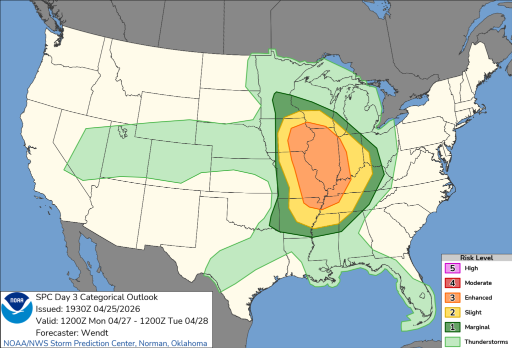
Tennessee is included in a broader area where organized storms could develop rapidly, potentially impacting the afternoon commute and school dismissal times. Officials say some storms may form as supercells before evolving into larger lines capable of producing widespread wind damage.
School districts often monitor these forecasts closely and may adjust schedules if conditions deteriorate. Administrators could choose to dismiss students early, cancel after-school activities or close schools altogether to avoid having buses on the road during dangerous weather.
Possible impacts include power outages, downed trees and power lines, and flooded roadways, all of which can make travel unsafe. Strong winds may also create hazardous conditions around school buildings and outdoor areas.
Emergency officials urge families to stay alert for updates from local school systems and have contingency plans in place in case schedules change with little notice.
While the exact timing and intensity of the storms may still shift, forecasters warn that Tennesseans should be prepared for rapidly changing conditions and potential disruptions to normal routines Monday.


