


INDIANA — A widespread freeze warning is in effect across much of Indiana overnight into Monday morning, raising concerns about icy roads, possible school delays and hazardous travel conditions for April 20.
According to the National Weather Service in Indianapolis, sub-freezing temperatures as low as 30 degrees are expected between 2 a.m. and 9 a.m. Monday across central, east-central, north-central and west-central Indiana. Areas impacted include major population centers such as Indianapolis, Lafayette, Kokomo, Anderson, Muncie and surrounding communities.
Northern portions of the state, including areas near South Bend, Fort Wayne and Elkhart, are expected to see even colder temperatures, with lows dipping into the mid-20s to around 30 degrees. A separate freeze warning for northern Indiana remains in effect from late Sunday night through mid-morning Monday.
Forecasters warn that any moisture left on roadways from recent rain could freeze overnight, creating slick conditions for the Monday morning commute. Bridges, overpasses and untreated secondary roads are expected to be the most impacted.
While widespread precipitation is not expected, some areas could see isolated flurries or very light snow showers early Monday. Though little to no accumulation is anticipated, even brief snow combined with freezing temperatures could contribute to reduced visibility and icy patches.
The combination of freezing temperatures and potentially slick roadways may lead some school districts, particularly in rural areas, to consider delays or closures Monday morning.
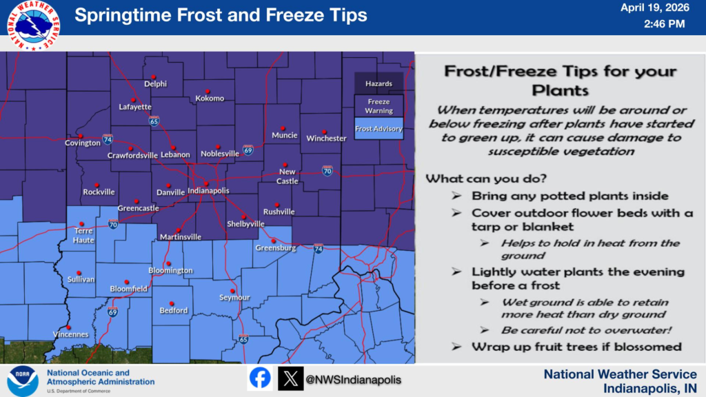
In addition to travel concerns, the freeze could damage crops, sensitive vegetation and exposed outdoor plumbing.
Residents are urged to take precautions, including protecting plants, covering pipes and allowing extra time for travel during the early morning hours.


