


KENTUCKY — The National Weather Service’s Storm Prediction Center has issued a Severe Thunderstorm Watch for portions of western Kentucky through 8 p.m. CDT Saturday as strong to severe thunderstorms are expected to develop across the region.
The watch includes the counties of Allen, Ballard, Butler, Caldwell, Calloway, Carlisle, Christian, Crittenden, Daviess, Fulton, Graves, Henderson, Hickman, Hopkins, Livingston, Logan, Lyon, Marshall, McCracken, McLean, Muhlenberg, Ohio, Simpson, Todd, Trigg, Union, Warren and Webster.
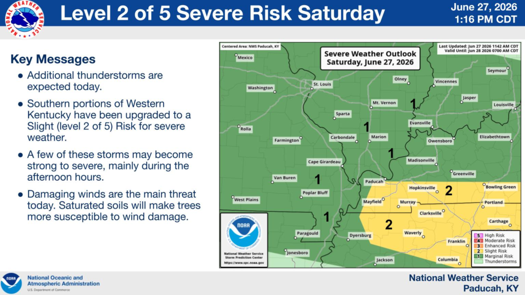
According to the National Weather Service in Paducah, southern portions of western Kentucky are under a Level 2 of 5 (Slight Risk) for severe weather, while surrounding areas remain under a Level 1 (Marginal Risk).
Forecasters say additional thunderstorms are expected throughout the day, with a few storms potentially becoming strong to severe during the afternoon hours.
Damaging wind gusts are the primary threat, and saturated ground from recent rainfall could make trees more vulnerable to being blown down. Heavy rainfall and frequent lightning are also possible with stronger storms.
Residents across western Kentucky are encouraged to remain weather aware through the evening, have multiple ways to receive weather warnings, and be prepared to seek shelter if Severe Thunderstorm Warnings are issued or threatening weather approaches.


