


NORTH CAROLINA — A Severe Thunderstorm Watch has been issued for much of eastern North Carolina until 8 p.m. Tuesday as forecasters warn that strong to severe thunderstorms could bring damaging winds, isolated tornadoes, and heavy rainfall.
According to the National Weather Service’s Storm Prediction Center, the watch covers a large portion of eastern North Carolina, including Beaufort, Bertie, Bladen, Brunswick, Camden, Carteret, Chowan, Columbus, Craven, Cumberland, Currituck, Dare, Duplin, Edgecombe, Franklin, Gates, Granville, Greene, Halifax, Harnett, Hertford, Hyde, Johnston, Jones, Lenoir, Martin, Nash, New Hanover, Northampton, Onslow, Pamlico, Pasquotank, Pender, Perquimans, Pitt, Robeson, Sampson, Tyrrell, Vance, Wake, Warren, Washington, Wayne and Wilson counties.
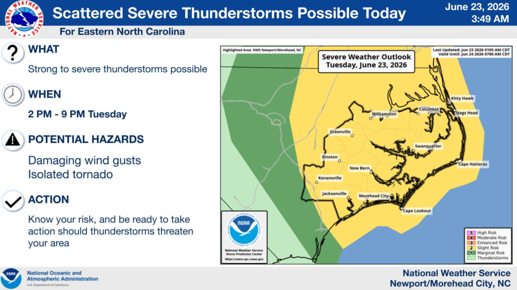
The National Weather Service in Newport/Morehead City says scattered strong to severe thunderstorms are expected to develop between 2 p.m. and 9 p.m. Tuesday. The primary threats include damaging wind gusts, with an isolated tornado also possible.
Forecasters note that eastern North Carolina falls within a Slight Risk (Level 2 of 5) for severe thunderstorms, indicating scattered severe storms are possible across the region.
Residents are encouraged to stay weather-aware throughout the afternoon and evening, monitor the latest forecasts, and be prepared to move indoors immediately if severe thunderstorm or tornado warnings are issued. Heavy downpours may also result in localized flooding in some areas.


