


INDIANA — A Severe Thunderstorm Watch has been issued for a large portion of Indiana and will remain in effect until 11 p.m. EDT Tuesday, according to the National Weather Service’s Storm Prediction Center.
The watch covers 60 counties across central, northern, western and eastern Indiana, including major population centers such as Indianapolis, Fort Wayne, South Bend, Lafayette, Bloomington, Muncie, Anderson, Kokomo and Columbus.
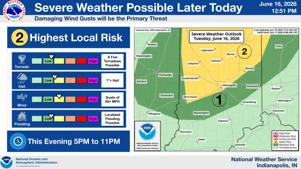
Forecasters warn that conditions are favorable for the development of severe thunderstorms capable of producing damaging wind gusts, large hail and frequent lightning. Heavy rainfall could also lead to localized flooding in some areas.
Counties included in the watch stretch from LaPorte and Porter counties in northwest Indiana to Adams and Jay counties along the Ohio border, and from Benton and Newton counties in the west to Monroe, Brown and Bartholomew counties in the south-central part of the state.
Residents are encouraged to monitor weather conditions throughout the evening and be prepared to seek shelter if severe thunderstorm warnings are issued for their area. Officials also advise securing outdoor objects and avoiding unnecessary travel during periods of severe weather.
The Storm Prediction Center and local National Weather Service offices will continue to monitor storm development as the threat moves across Indiana Tuesday evening.


