


ILLINOIS — Parts of Illinois could see strong to severe thunderstorms on Thursday, June 25, though the greatest threat for widespread severe weather is expected to remain farther west across the central and southern Great Plains, according to the National Weather Service’s Storm Prediction Center.
Forecasters say Illinois is included in a broader area where thunderstorms are possible through Thursday night. While most of the state is expected to see general thunderstorms, portions of western and northern Illinois could experience a few stronger storms if conditions become favorable.
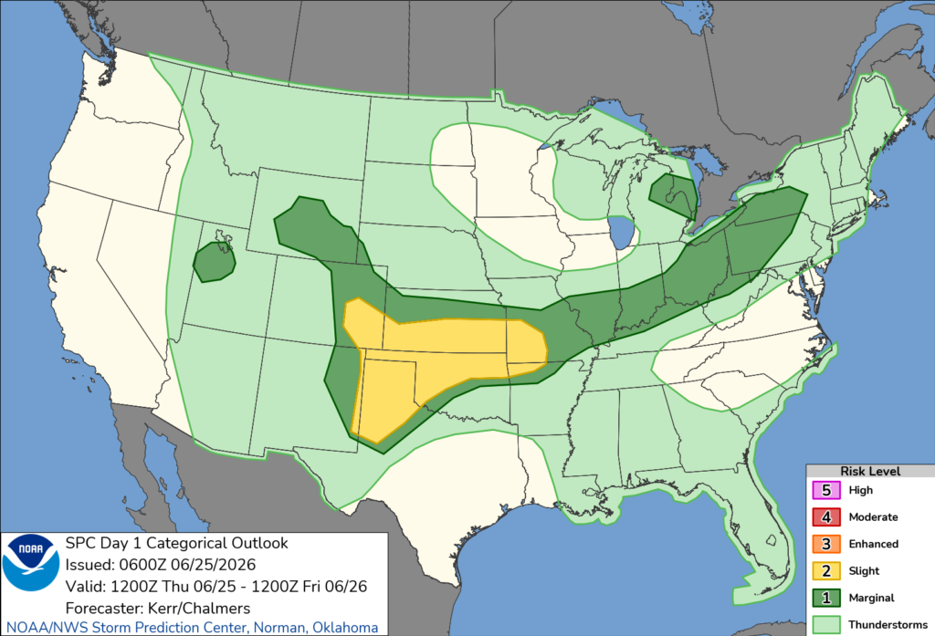
The Storm Prediction Center said uncertainty remains regarding how storms will develop across the Midwest. However, strengthening winds in the atmosphere could support organized thunderstorms, including isolated supercells, if enough daytime heating and instability develop.
The primary severe weather threats in Illinois would be damaging wind gusts, though hail cannot be ruled out with the strongest storms. Forecasters noted that current forecast models do not show a strong signal for widespread severe weather in the state, but they said later outlooks could increase the threat if weather conditions become more favorable.
The highest risk for severe weather on Thursday is expected across parts of Texas, Oklahoma, Kansas and eastern Colorado, where a Slight Risk (Level 2 of 5) has been issued. Those areas could see damaging winds, large hail and a couple of tornadoes.
Residents in Illinois are encouraged to monitor updated forecasts throughout the day, as the timing and intensity of any thunderstorms could change.


