


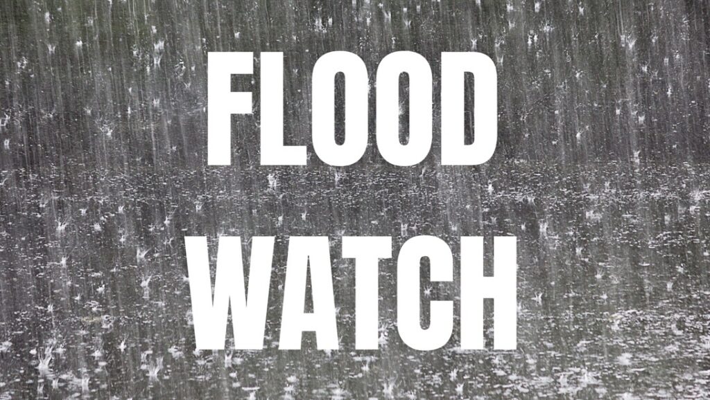
VIRGINIA — Residents across portions of southwest Virginia should prepare for the potential for both flooding and severe thunderstorms Monday as the National Weather Service has issued Flood Watches and the Storm Prediction Center has placed the region under a Slight Risk (Level 2 of 5) for severe weather.
A Flood Watch is in effect from noon through Monday evening for Tazewell County. Buchanan and Dickenson counties are also under a Flood Watch from 8 a.m. Monday through Monday evening.
Forecasters say an upper-level disturbance, abundant moisture and an approaching cold front will bring multiple rounds of scattered showers and thunderstorms across the region throughout the day. Rainfall totals of 1 to 2 inches are expected in some areas, with locally higher amounts possible where storms repeatedly move over the same locations.
The heavy rainfall could lead to flash flooding, with excessive runoff causing rivers, creeks, streams and other low-lying and flood-prone areas to flood. Officials warn that locations that received heavy rainfall last week will be especially vulnerable to flooding.
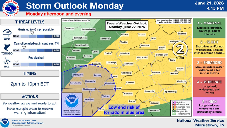
In addition to the flooding threat, much of southwest Virginia is under a Slight Risk for severe thunderstorms Monday afternoon and evening. Storms are expected to develop between 2 p.m. and 10 p.m. EDT.
The primary severe weather hazards include damaging wind gusts of up to 60 mph and hail up to the size of peas. While the tornado threat remains low, forecasters say an isolated tornado cannot be ruled out across portions of southwest Virginia.
The National Weather Service urges residents to monitor the latest forecasts, have multiple ways to receive weather warnings, and be prepared to take action if Flash Flood Warnings or Severe Thunderstorm Warnings are issued. Those living in flood-prone areas should remain alert and be ready to respond if flooding develops.


