


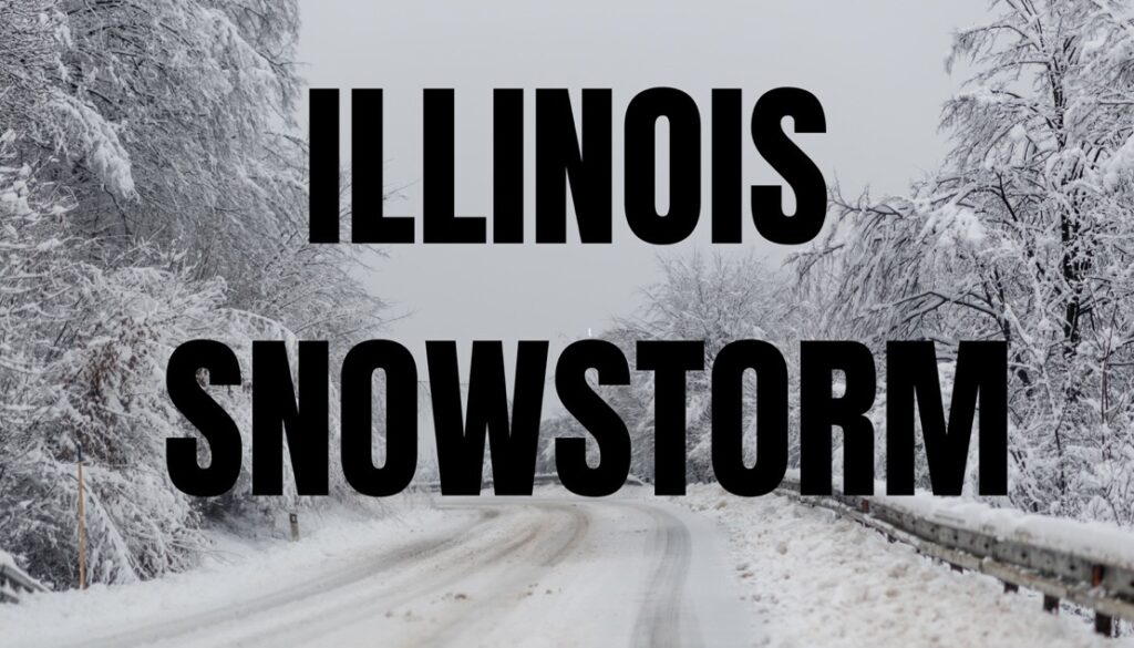
ILLINOIS — After a stretch of spring-like temperatures, forecasters say the Chicago area could see accumulating snow late Sunday into Monday.
Meteorologists say the region will experience a dramatic shift in weather over the weekend. Temperatures are expected to climb near 60 degrees Sunday, bringing the possibility of strong storms during the afternoon and early evening.
As temperatures quickly drop overnight, rain is expected to transition into snow, with snowfall continuing into Monday morning.
Forecasters say areas north and west of Chicago could see the most significant snowfall. Current projections estimate 1 to 5 inches of snow, with the higher totals possible in DeKalb, McHenry, and Boone counties. Chicago itself could receive around 2 to 3 inches, with lighter totals expected in northwest Indiana.
Strong winds could also create hazardous conditions. Gusts of more than 40 miles per hour may lead to blowing snow and difficult travel conditions, particularly during the Monday morning commute.
A winter storm watch has been issued for parts of southern Wisconsin, where forecasters say 4 to 7 inches of snow could fall along with winds approaching 45 miles per hour.
Cold temperatures are expected to linger through Monday, with wind chills dropping into the single digits and possibly below zero Monday night into Tuesday. Temperatures should gradually warm later in the week, with highs returning to the 40s and 50s.


