


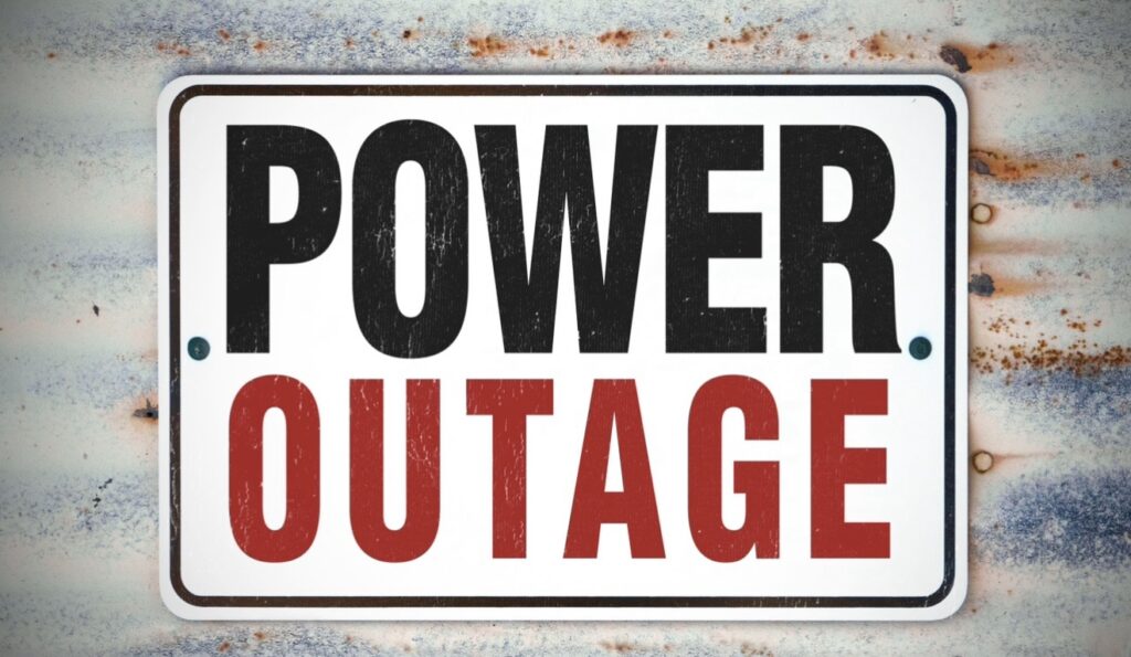
WEST VIRGINIA — The National Weather Service in Charleston is warning residents across parts of West Virginia, Ohio, Kentucky, and Virginia to prepare for possible power outages as a strong storm system moves through the area late Sunday into Monday.
According to forecasters, a powerful low-pressure system will track north of the region, bringing well-above-normal temperatures and scattered showers on Sunday as a warm front lifts north. Conditions are expected to worsen Sunday night when a strong cold front pushes through, producing heavy showers, strong wind gusts, and possibly isolated thunder.
The most significant concern is the potential for damaging winds. The National Weather Service says strong, gusty winds Sunday night through Monday night could down trees and power lines, leading to scattered power outages, especially in the northern mountain regions.
As temperatures drop late Sunday night into Monday, rain showers may transition to snow showers, with light accumulations possible in higher elevations through Tuesday. Winds will gradually weaken Tuesday as drier but colder conditions move in.
Residents are encouraged to stay updated on forecasts and prepare for possible outages and travel disruptions.


