


WISCONSIN — A Severe Thunderstorm Watch is in effect for portions of Wisconsin through 10 p.m. CDT Tuesday, June 30, as conditions remain favorable for the development of dangerous thunderstorms.
The watch, issued by the National Weather Service’s Storm Prediction Center, includes 24 counties across central, eastern and western Wisconsin where severe thunderstorms may produce damaging wind gusts, large hail and frequent lightning.
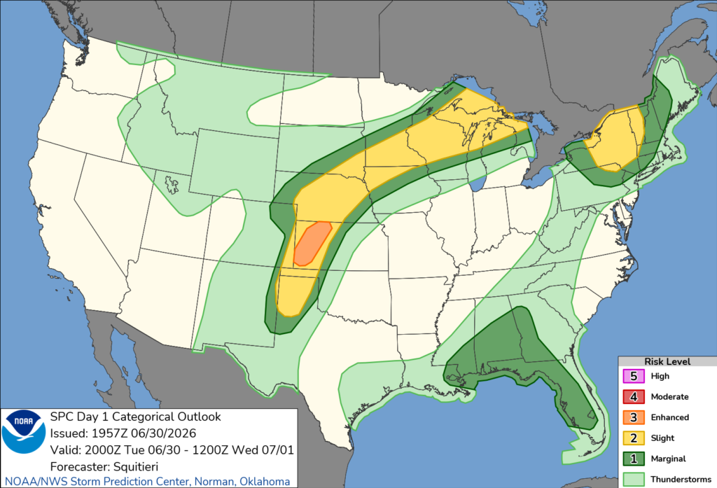
Counties included in the watch are Brown, Buffalo, Chippewa, Clark, Door, Dunn, Eau Claire, Jackson, Kewaunee, Langlade, Lincoln, Marathon, Marinette, Menominee, Oconto, Outagamie, Pepin, Pierce, Portage, Shawano, Taylor, Trempealeau, Waupaca and Wood.
The watch also includes adjacent coastal waters of Green Bay.
Residents in the affected areas are urged to monitor forecasts throughout the evening and be prepared to move to a sturdy shelter if severe thunderstorm warnings are issued for their location.
A severe thunderstorm watch means conditions are favorable for severe thunderstorms to develop, but severe weather may not occur everywhere within the watch area. The watch remains in effect until 10 p.m. CDT Tuesday.


