


OHIO — Eastern Ohio is at risk for severe thunderstorms Monday afternoon and evening, according to the National Weather Service’s Storm Prediction Center.
The Storm Prediction Center has placed portions of eastern Ohio under a Marginal Risk (Level 1 of 5) for severe weather as storms move across the Mid-Atlantic and central Appalachian regions.
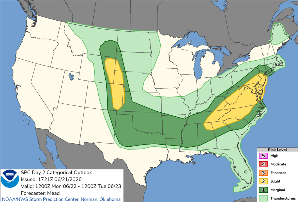
Forecasters say scattered thunderstorms are expected to develop and strengthen during the afternoon before continuing into the evening. The primary threat is expected to be damaging straight-line winds capable of downing trees and power lines.
While damaging winds are expected to be the main hazard, an isolated tornado cannot be ruled out, particularly in eastern portions of the state if atmospheric conditions become more favorable for rotating thunderstorms.
The severe weather threat is expected to develop as an approaching cold front interacts with warm, humid air over the region. Strengthening winds higher in the atmosphere are expected to help organize thunderstorms as they move across eastern Ohio.
Residents are encouraged to stay weather-aware Monday and have multiple ways to receive watches and warnings as conditions may change rapidly throughout the day.


