


INDIANA — Damaging winds and large hail are the primary severe weather concerns across Indiana on Saturday as thunderstorms are expected to develop and intensify throughout the afternoon and evening, according to the Storm Prediction Center.
The SPC has placed much of Indiana within a slight risk area for severe thunderstorms as a strengthening weather system moves through the Great Lakes region.
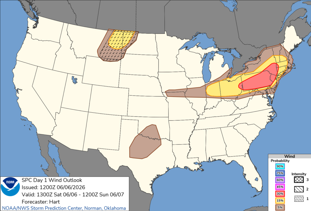
Forecasters say multiple clusters of thunderstorms are expected to develop and move across Indiana during the day. Strong wind gusts capable of damaging trees, power lines and structures are the main concern. Large hail is also possible with the strongest storms.
According to the Storm Prediction Center, ongoing thunderstorms from eastern Illinois into Indiana could strengthen as daytime heating increases. Additional storm development is expected by early afternoon.
Meteorologists noted that favorable atmospheric conditions, including increasing instability and strengthening winds aloft, could support organized clusters of severe thunderstorms capable of producing widespread damaging winds.
The severe weather threat is expected to continue into the evening hours before storms move east toward Ohio and the Northeast.
Residents are encouraged to monitor weather forecasts throughout the day, have multiple ways to receive warnings and be prepared for rapidly changing weather conditions, especially during the afternoon and evening when the strongest storms are expected.
The Storm Prediction Center said the severe weather risk extends from Indiana into the Ohio Valley and parts of the Northeast, with damaging winds and isolated large hail remaining the primary hazards.


