


MISSOURI — A winter storm system is expected to bring a round of wintry weather to Missouri in early March, with forecasters warning of possible snow and ice across parts of the state.
According to national forecasters, fresh Arctic air moving south from Canada will set the stage for the system early next week.
As warmer, moisture-laden air collides with the cold air already in place, areas of snow, sleet and freezing rain could develop across portions of the Mid-Mississippi Valley, which includes much of Missouri.
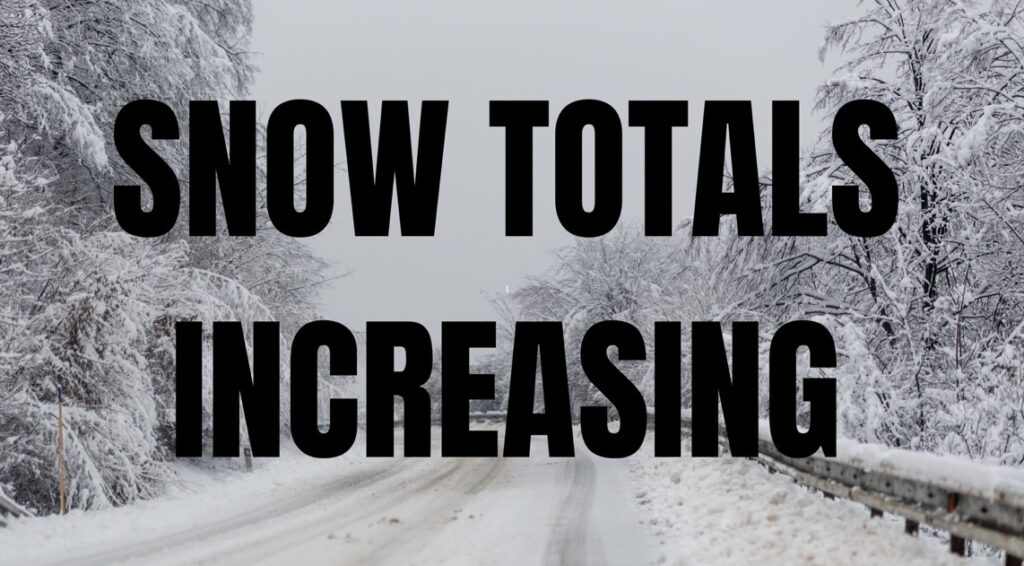
While the system is not expected to rival the powerful blizzard that recently impacted parts of the Northeast, forecasters say it could still produce plowable snow and some ice. Snow is currently expected to develop across sections of the Mid-Mississippi Valley and Ohio Valley, though exact amounts and locations remain uncertain, according to the National Weather Service.
Light snow may begin in parts of the region late this week before the main system arrives. The greatest risk for travel disruptions in Missouri appears to be Monday, March 2 through Wednesday, March 4, depending on the storm’s exact track and strength.
In addition to snow and ice, some areas could see a wintry mix, creating slick roads and hazardous travel conditions. Where rain falls instead of snow, localized flooding in urban or low-lying areas cannot be ruled out.
Forecasters emphasize that the storm’s path and intensity are still being refined, and residents are encouraged to monitor updated forecasts in the coming days.


