


PENNSYLVANIA — Pennsylvania could see accumulating snow and icy conditions early next week as a new winter storm system moves across the Midwest and into the Northeast, forecasters said Thursday.
According to AccuWeather, fresh Arctic air will set the stage for the storm, which could bring disruptive snow and ice to parts of the region from Monday, March 2 through Wednesday, March 4.
Before the main system arrives, a smaller round of light snow is expected late this week. A narrow band of snow is forecast to develop Friday, Feb. 27 into Saturday night, Feb. 28, as a surge of Arctic air pushes southeast from Canada. Most areas are expected to see a coating to a couple of inches.
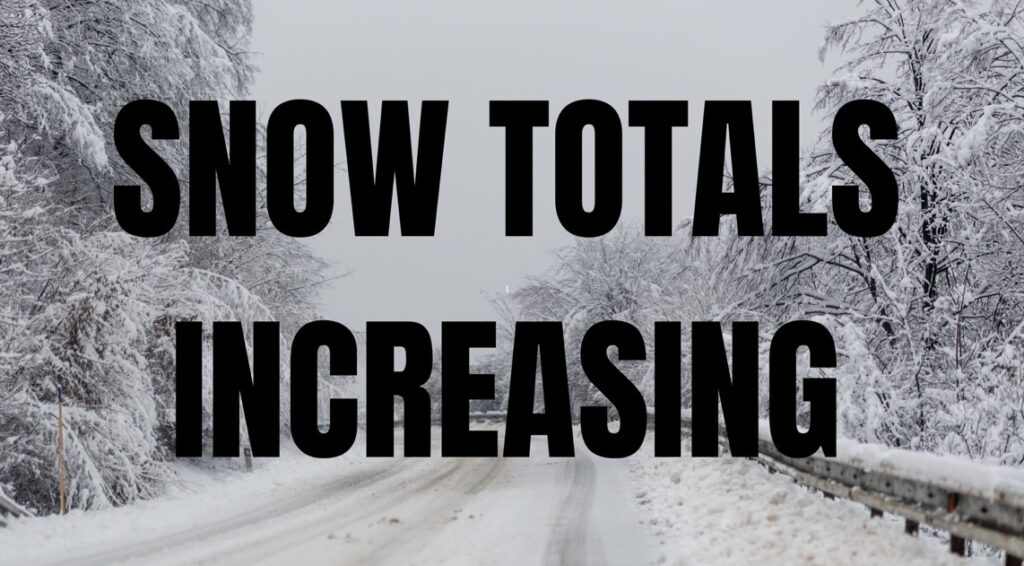
The larger storm early next week is expected to have more significant impacts. With cold air already in place, warmer and moisture-laden air moving into the region could produce widespread snow, sleet and freezing rain across portions of Pennsylvania.
The system is not expected to rival February’s blizzard, but plowable snow and some ice appear likely in parts of the Mid-Atlantic and Ohio Valley. Snow and ice totals will depend on the exact track and strength of the storm, which remain uncertain, according to the National Weather Service.
Major travel corridors and airports across Pennsylvania, including in Pittsburgh and Philadelphia, could experience delays if snow and ice accumulate. In areas where rain falls instead of snow, localized urban flooding is possible.
Forecasters urge residents to monitor updated forecasts in the coming days as the storm’s track becomes clearer.


