


VIRGINIA — A Winter Storm Watch is in effect for portions of western, south-central, and central Virginia as a major winter weather system is expected to affect the region from Saturday morning through Monday afternoon, according to the National Weather Service in Blacksburg.
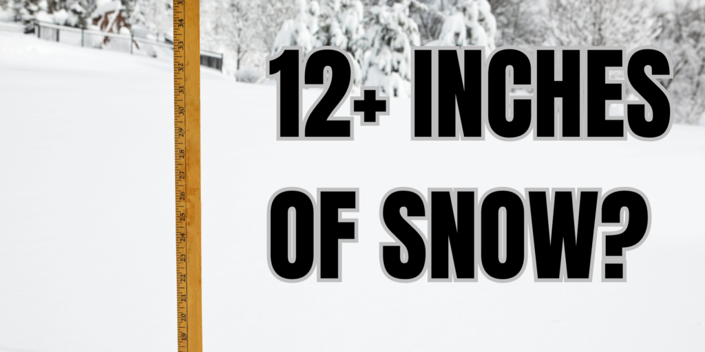
The watch highlights the potential for significant winter precipitation, including heavy snow, sleet, and some ice, with snow and sleet totals of 8 to 14 inches possible in parts of the watch area. Higher amounts are most likely in the mountains and higher elevations, though significant accumulations could extend into surrounding valleys depending on the storm’s track.
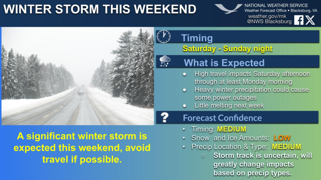
Forecasters say precipitation is expected to begin Saturday morning, intensify through Saturday night and Sunday, and continue into Monday before tapering off. Snow is expected to be the dominant precipitation type in much of the watch area, though sleet or freezing rain may mix in at times, especially during transitions in temperature.
The National Weather Service warns that travel could become difficult or dangerous, particularly on mountain roads, secondary highways, and untreated surfaces. Reduced visibility, snow-covered roads, and slick conditions are all possible during the storm.
Behind the system, very cold Arctic air is forecast to move into the region, which could cause snow and ice to linger on roadways and surfaces into early next week, extending travel and safety concerns even after precipitation ends.
Residents in the watch area are urged to monitor updated forecasts closely and prepare for the possibility of major winter impacts. The Winter Storm Watch may be upgraded to a Winter Storm Warning as confidence increases in snowfall amounts and timing.


