


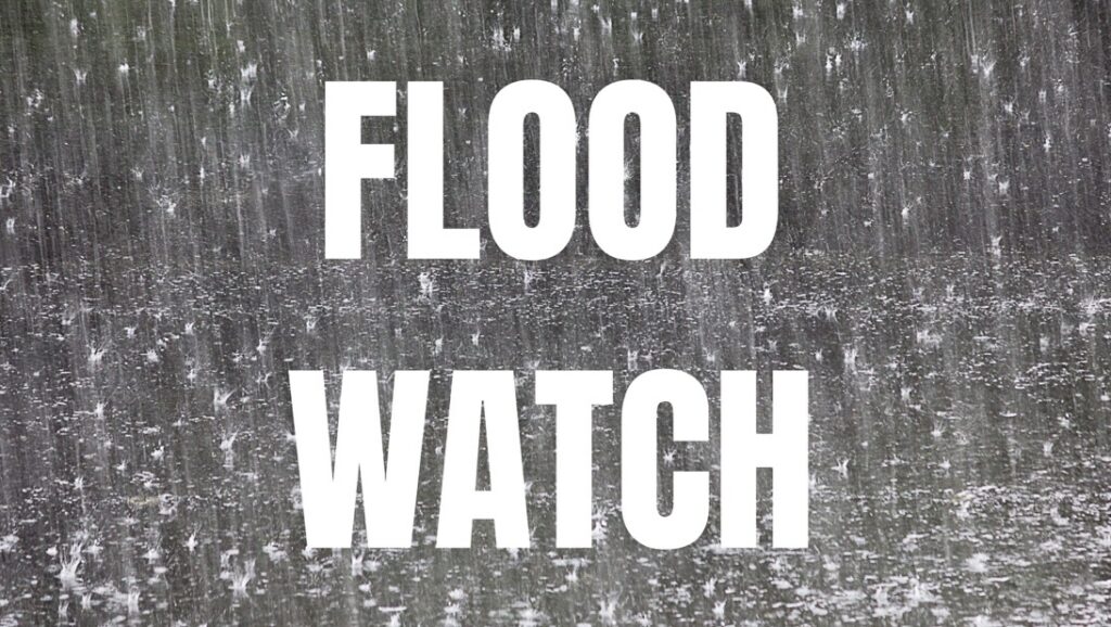
ILLINOIS — Much of Illinois is under a Flood Watch beginning Sunday as forecasters warn that repeated rounds of thunderstorms could bring heavy rainfall, flash flooding and the potential for severe weather through Sunday night and, in some areas, into Monday morning.
According to the National Weather Service, widespread rainfall totals of 1.5 to 2.5 inches are expected across much of the state, with locally higher amounts possible where thunderstorms repeatedly track over the same locations. Some areas of western and southern Illinois could receive 1 to 3 inches of rain, increasing the risk of flash flooding.
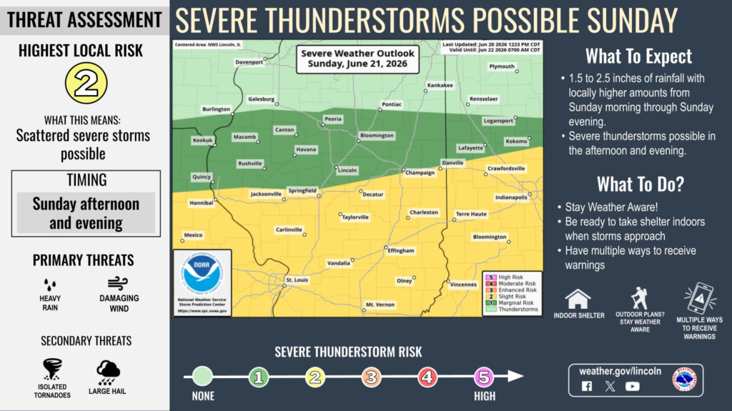
The Weather Prediction Center has placed portions of Illinois under a slight risk for excessive rainfall, while the National Weather Service in Lincoln says scattered severe thunderstorms are also possible Sunday afternoon and evening. The primary severe weather threats include damaging wind gusts and heavy rainfall, with isolated tornadoes and large hail also possible.
Flood Watches are in effect for a large portion of the state, including counties in central, west central, east central, southeast and southwestern Illinois. Major cities included in the watches include Springfield, Peoria, Bloomington, Normal, Champaign, Urbana, Decatur, Jacksonville, Quincy, Galesburg, Effingham, Danville, Charleston, Belleville, Edwardsville, Alton, Collinsville, East St. Louis, Quincy and Bloomington.
The timing of the watches varies slightly by region. Most begin Sunday morning and continue through late Sunday night, while portions of southwestern and southern Illinois remain under a Flood Watch through Monday morning. Parts of western Illinois, including Adams, Brown, Calhoun and Pike counties, are under a watch from 1 a.m. Sunday through Sunday evening.
Forecasters warn that excessive runoff could cause flooding of rivers, creeks, streams and other low-lying and flood-prone areas. Residents are encouraged to monitor the latest forecasts, have multiple ways to receive weather warnings and be prepared to move to higher ground if Flash Flood Warnings are issued. Motorists should never attempt to drive through flooded roadways.


