


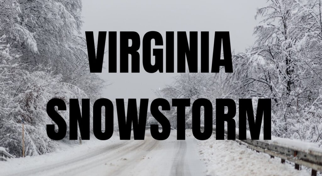
VIRGINIA — A rapidly developing coastal storm system could bring the potential for wintry weather to parts of Virginia early next week, though forecasters say the exact impacts will depend heavily on the storm’s track.
According to the National Weather Service’s Weather Prediction Center, a low-pressure system is expected to rapidly strengthen near or just off the Mid-Atlantic coast Sunday into Monday.
This process, known as rapid cyclogenesis, could produce heavy precipitation, strong winds, and coastal impacts across portions of the Mid-Atlantic region, including Virginia.
If the storm tracks closer to the coastline, areas of eastern and central Virginia could see a mix of rain and snow, with the potential for heavier snowfall farther inland where colder air is more established.
A more offshore track would likely result in lighter precipitation and reduced wind impacts across the state, especially west of the Chesapeake Bay.
Forecasters note that the storm environment is highly sensitive, and even small shifts in the storm’s path could significantly change precipitation type and totals across Virginia. Strong winds and the possibility of coastal flooding would also become greater concerns if the system strengthens closer to shore.
Behind the departing system, colder Canadian air is expected to move into the eastern United States, bringing temperatures 10 to 20 degrees below late-February averages by Monday. Chilly conditions could linger into Tuesday before a gradual moderating trend begins by midweek.
In addition, another system may bring additional chances for wintry precipitation across the Great Lakes, Northeast, and possibly portions of the Mid-Atlantic, including Virginia, later next week.
Forecasters stress that confidence in specific snowfall amounts and exact impacts remains uncertain and residents should continue to monitor forecast updates as the storm develops.


