


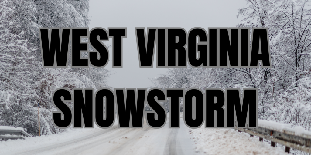
WEST VIRGINIA — The National Weather Service has issued a combination of winter storm warnings and winter weather advisories for West Virginia as a widespread snow event is expected to impact the state from Saturday into Sunday.
Snow is forecast to begin Saturday morning and increase in coverage and intensity through the afternoon. The heaviest snowfall is expected Saturday evening and overnight before gradually tapering off early Sunday. Forecasters warn that travel conditions could deteriorate quickly during the evening and overnight hours.
A Winter Storm Warning covers much of central, northern, and eastern West Virginia. In these areas, snowfall totals are expected to range from 3 to 6 inches across central and southern counties, including Kanawha, Fayette, Raleigh, Boone, Logan, and Nicholas counties. In north-central West Virginia, including Harrison, Marion, Taylor, and nearby counties, 4 to 8 inches of snow are forecast.
The greatest impacts are expected in the higher elevations of eastern West Virginia, where terrain-enhanced snowfall could result in 6 to 10 inches of accumulation. Counties most likely to see the highest totals include Pocahontas, Randolph, Webster, Upshur, and parts of Barbour.
Meanwhile, Winter Weather Advisories are in effect for portions of southern and western West Virginia, where lighter snowfall is expected. These areas may receive 1 to 3 inches of snow, but even modest accumulations could lead to slick and hazardous road conditions.
Following the snow, very cold air will settle into the region late Saturday night and Sunday, potentially allowing snow and ice to persist on roadways. Officials urge residents to use caution, avoid unnecessary travel during the storm, and stay updated as conditions and advisories may change.


