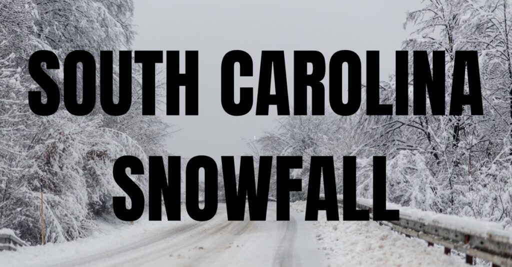
SOUTH CAROLINA — While South Carolina is known for its mild winters, measurable snowfall is possible in the state during February based on historical weather patterns and past climatological data, according to the National Weather Service.
February is typically the coldest month of the year in South Carolina, with average low temperatures often dipping into the 30s across much of the state and occasionally below freezing, particularly in the Upstate and Piedmont regions. These colder temperatures create conditions that can support snow when sufficient moisture is present.
Historically, measurable snow in South Carolina has occurred when cold air from the north or northwest moves into the region at the same time a low-pressure system tracks along or near the Gulf Coast or the Southeast coastline.
These systems can pull moisture northward while cold air remains in place, allowing precipitation to fall as snow rather than rain. This setup is more likely during February than earlier or later in the winter because Arctic air masses are still capable of reaching deep into the Southeast.
Weather records show that South Carolina has experienced several notable February snow events. In some years, portions of the Upstate, Midlands, and even the Coastal Plain have recorded measurable snowfall, ranging from light accumulations to several inches. While such events are infrequent compared to states farther north, they are well-documented in the state’s climate history.
Geography also plays a role. Higher elevations in the Upstate, particularly near the Blue Ridge Mountains, are more likely to see snow due to cooler temperatures. However, under the right atmospheric conditions, snow has reached central and coastal areas as well.
Overall, while measurable snowfall in South Carolina during February is uncommon, it is not unusual or unprecedented. Historical weather data confirm that when cold air and moisture align, snow is a realistic possibility across parts of the state during the month.


