


ILLINOIS — While no specific winter storm is being forecast, historical weather patterns show that Illinois has the climatological potential to receive a foot of snow from a single weather system during the month of February.
Such events, though not routine, have occurred multiple times in the state’s recorded weather history and are consistent with typical winter atmospheric conditions across the Midwest.
February is traditionally one of Illinois’ snowiest months, according to the National Weather Service. Cold air is usually well established across the region, and the jet stream often remains active, allowing storm systems to track through or near the state.
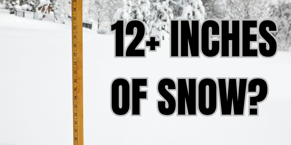
When sufficient moisture from the Gulf of Mexico interacts with cold air already in place, snowfall totals can increase rapidly. If a storm system slows or intensifies while passing through Illinois, localized snowfall totals of 12 inches or more become possible.
Heavy snowfall in a single system typically occurs when temperatures remain below freezing throughout the storm, preventing snow from mixing with rain or sleet.
Additional factors, such as strong upward motion in the atmosphere and banding within the storm, can further enhance snowfall rates. Past February storms in Illinois have produced snowfall rates exceeding one inch per hour for several consecutive hours, leading to significant accumulations.
Climatological records show that northern and central Illinois are particularly susceptible to these types of winter systems, though heavy snow has occurred statewide under the right conditions.
While such storms are not guaranteed in any given year, the combination of cold air, available moisture and favorable storm tracks means a foot of snow from one February system remains a realistic historical possibility in Illinois.


