


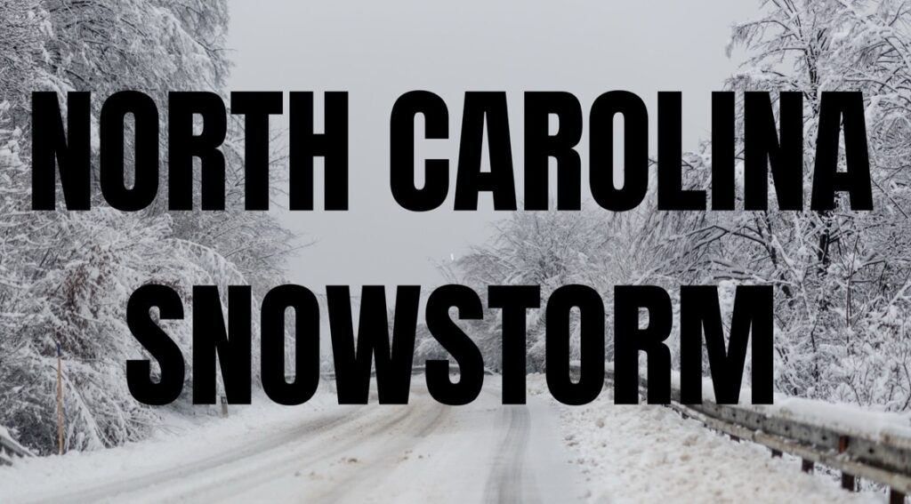
NORTH CAROLINA — The National Weather Service in Blacksburg has issued a Winter Weather Advisory for several counties across central North Carolina, effective from midnight Thursday night through midnight Friday night.
Residents in the northern Piedmont and northern Coastal Plain should prepare for slippery conditions during the day.
The advisory covers Person, Granville, Vance, Warren, Halifax, Forsyth, Guilford, Alamance, Orange, and Durham counties, including cities such as Kittrell, Creedmoor, High Point, Scotland Neck, Chapel Hill, Enfield, Norlina, Hillsborough, Greensboro, Burlington, Mebane, Roxboro, Winston-Salem, Carrboro, Durham, Henderson, Oxford, Warrenton, Roanoke Rapids, Graham, and Rougemont.
Forecasters say mixed precipitation is expected, with total snow accumulations up to one inch and a light glaze of icepossible.
These conditions could make roads slick and hazardous, potentially impacting both the Friday morning and evening commutes. Drivers are advised to slow down and exercise caution while traveling. Up-to-date road conditions are available by calling 511.
In addition, north-central and northwest areas of the state, including Surry, Stokes, Rockingham, Caswell, Wilkes, and Yadkin counties, can expect wet snow accumulations of up to two inches. Motorists in these areas should also be prepared for hazardous driving conditions through 7 p.m. Friday.
The National Weather Service emphasizes that even light accumulations of snow and ice can create dangerous travel conditions, especially on bridges, overpasses, and untreated roads. Residents are urged to monitor local forecasts and exercise extra caution while commuting.


