


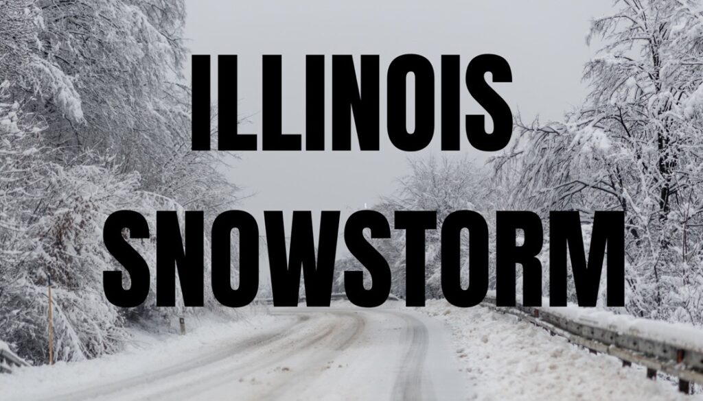
ILLINOIS — The National Weather Service has issued a Winter Storm Watch for much of Illinois, with heavy snow expected from late Friday night through late Saturday night. Total snow accumulations could exceed 5 to 6 inches in many areas, and some southern and west-central counties may see up to 8 inches.
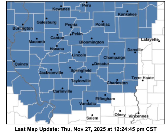
The watch affects central, east central, north central, northeast, southeast, and west central Illinois, including cities such as Peoria, Springfield, Champaign, Urbana, Decatur, Bloomington, Normal, Effingham, Shelbyville, Galesburg, Mattoon, Charleston, Lincoln, Havana, Taylorville, Jacksonville, Lacon, and Beardstown. Areas along the northern and northeastern edge, including Rockford, Joliet, Chicago, and surrounding suburbs, may also experience significant snow.
Travel is expected to be hazardous, particularly on bridges and overpasses. Drivers are advised to delay trips if possible. If travel is necessary, motorists should exercise extreme caution, allow extra time, maintain safe following distances, and prepare for sudden changes in visibility. Vehicles should be winterized and in good working order.
The National Weather Service warns that snow may be moderate to heavy at times, with winds gusting up to 25 mph in some northern and western counties, further reducing visibility and creating slippery conditions.
Officials are urging residents to monitor the latest forecasts and prepare for difficult travel conditions this Thanksgiving weekend.


