


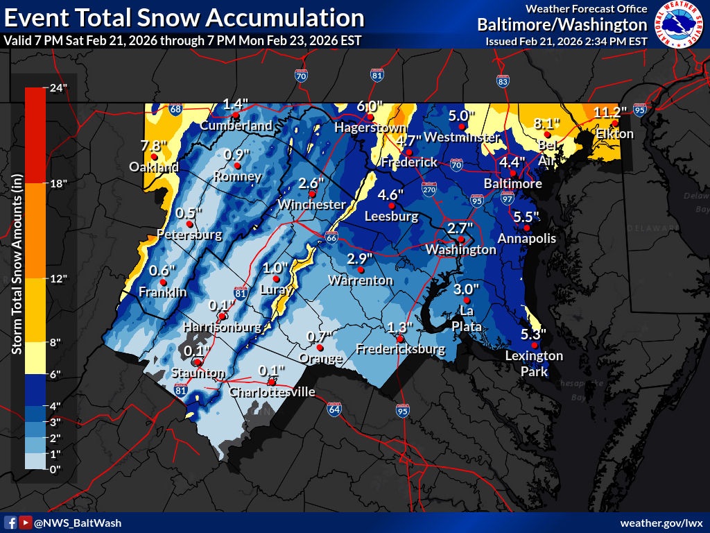
MARYLAND — A significant winter storm is expected to impact large portions of Maryland beginning Sunday afternoon and continuing into Monday morning, prompting the National Weather Service to issue a Winter Storm Warning for much of the state.
As Saturday, the warning includes the following areas: Carroll, Northern Baltimore, Cecil, Southern Baltimore, Anne Arundel, St. Mary’s, Calvert, Northwest Howard, Central and Southeast Howard, Northwest Harford, and Southeast Harford counties.
Winter Storm Warning Details
The Winter Storm Warning will be in effect from 3 p.m. Sunday to 10 a.m. EST Monday.
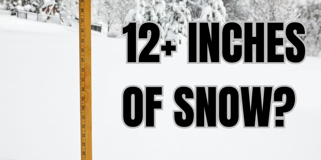
Forecasters say heavy snow is expected, with total accumulations between 4 and 8 inches across much of the warned area. Locally higher amounts, near 12 inches, are possible in northeast Maryland. Winds could gust as high as 35 mph, which may lead to blowing snow and reduced visibility at times.
The warning covers portions of central, north central, northeast, northern, and southern Maryland.
Travel Impacts Expected
According to the National Weather Service, roads — particularly bridges and overpasses — are likely to become slick and hazardous as snowfall intensifies. Travel conditions could deteriorate rapidly Sunday evening and overnight.
Officials warn that the storm could significantly impact the Monday morning commute, especially in areas that see higher snowfall totals.
In addition to the warning areas, other parts of Maryland remain under winter weather advisories, where accumulating snow is also expected but at lower totals.
Preparation and Safety Guidance
Residents are urged to make preparations before conditions worsen. The National Weather Service advises that anyone who must travel should keep an extra flashlight, food, and water in their vehicle in case of emergency.
Drivers can obtain the latest road conditions in Maryland by calling 511.
Forecasters continue to monitor the storm’s track and intensity. Updated snowfall projections and any additional watches or warnings will be issued as needed through weather.gov.
Further updates are expected as the system approaches.


