


WEST VIRGINIA — Forecasters with the National Weather Service are warning that a major winter storm could impact West Virginia this weekend, with heavy snow and hazardous travel conditions possible across much of the state.
Timing
The Winter Storm Watch is set to begin Saturday morning. For most counties, it remains in effect through Monday morning, while parts of southeast West Virginia could see impacts linger into Monday afternoon, depending on how long snowfall continues.
Snowfall Expectations
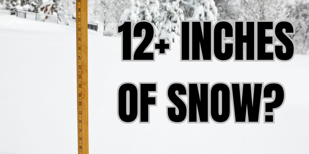
Meteorologists say 6 to 12 inches of snow could fall across a large portion of the state. In higher elevations and southeastern counties, totals may be greater, with 8 to 14 inches possible. The heaviest snowfall is expected in the mountains, where northwest Pocahontas County and southeast Randolph County could receive 10 to 15 inches, with isolated higher amounts.
Counties Included in the Watch
The Winter Storm Watch covers the following West Virginia counties:
Cabell, Wayne, Mason, Lincoln, Putnam, Kanawha, Roane, Jackson, Wood, Pleasants, Tyler, Wirt, Calhoun, Ritchie, Doddridge, Mingo, Logan, Boone, Clay, Braxton, Gilmer, Lewis, Harrison, Taylor, McDowell, Wyoming, Upshur, Barbour, Mercer, Summers, Monroe, Greenbrier (eastern and western sections), Raleigh (northwest and southeast), Fayette (northwest and southeast), Nicholas (northwest and southeast), Webster (northwest and southeast), Pocahontas (southeast), and Randolph (northwest).
Potential Impacts
Officials caution that travel conditions may deteriorate rapidly, with roads becoming snow-covered and visibility reduced, especially late Sunday and into Monday morning. The storm could disrupt travel plans, school schedules, and daily commutes.
Residents are urged to keep track of forecast updates as the weekend approaches, as the watch could be upgraded to a warning and snowfall projections may be adjusted.


