


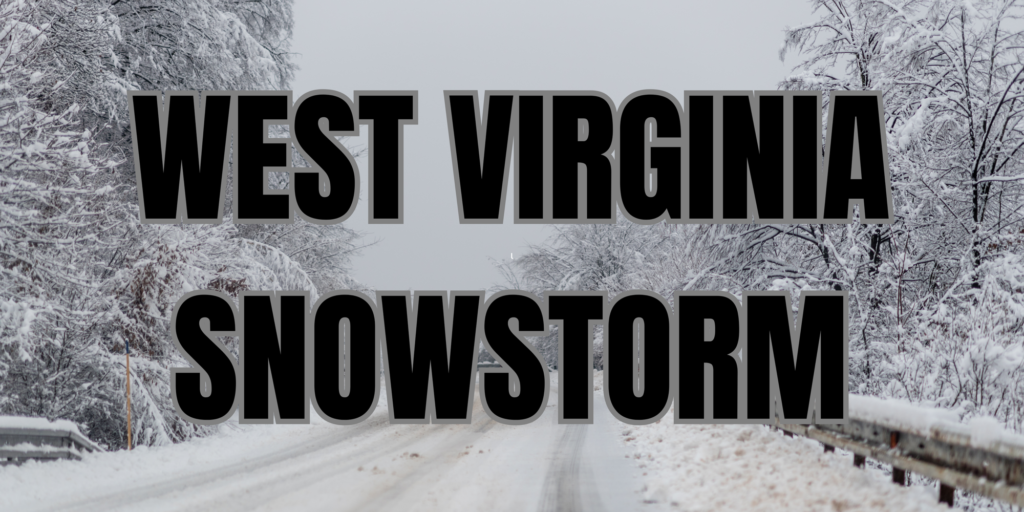
WEST VIRGINIA — Forecasters say snow is likely to develop Tuesday afternoon and continue into the evening in parts of West Virginia, though amounts will vary significantly across the state.
According to the National Weather Service, the best chance for measurable snow will occur mainly after about 1 p.m. Tuesday, with snow showers spreading through central and northern counties later into the night.

In the eastern and central highlands, including areas such as near Elkins and other higher elevations, snow accumulation of 2 to 4 inches is possible by Wednesday morning. Lower elevations of southern and central West Virginia are forecast to see lighter snow totals, generally between a dusting and 1 inch through Tuesday night.
In northern parts of the state around Clarksburg, new snow totals of around 1 to 3 inches are forecast, with snow likely during the afternoon and continuing into Tuesday night. Meanwhile, southern areas near Beckley are expected to have a mix of precipitation during the day with only light snow accumulations likely Tuesday, with amounts generally under an inch.
Temperatures across most of the state will remain below freezing during the snow event, helping what snow does fall stick to surfaces and potentially create slick spots on untreated roads and bridges.
Overall, the storm will bring light to moderate snow totals, with the highest amounts expected in the higher elevations and northern counties from mid-afternoon into the overnight hours Tuesday.


