


PENNSYLVANIA — The National Weather Service has issued a Winter Storm Watch for portions of southwestern Pennsylvania, warning that heavy snow, strong winds, and near-blizzard conditions are possible from Friday morning through Saturday morning.
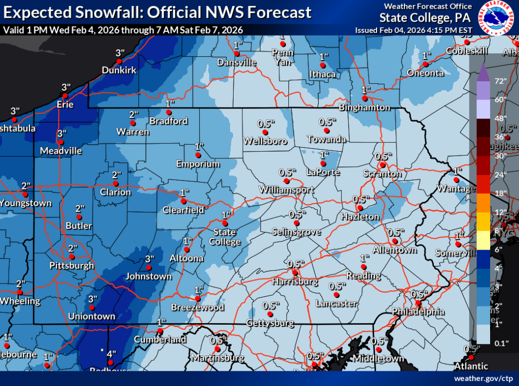
In Cambria and Somerset counties, including the cities of Johnstown and Somerset, forecasters say snow accumulations of 2 to 4 inches are possible, with locally higher amounts up to 6 inches on higher terrain and ridgetops. Winds in these areas could gust as high as 50 mph, which may lead to blowing and drifting snow and sharply reduced visibility. The heaviest snowfall is expected Friday afternoon through Friday night.
The National Weather Service warns that near-blizzard conditions could develop, making travel treacherous and potentially life-threatening at times. Visibility may drop significantly as snow is blown by strong winds, particularly Friday night into early Saturday.
Additional impacts are expected in the higher elevations of southwestern Pennsylvania, including parts of Westmoreland, Fayette, and Indiana counties. Communities such as Ligonier, Donegal, Champion, Ohiopyle, and Armagh could see 3 to 6 inches of snow, with isolated higher totals along ridgetops. Wind gusts in these areas may reach 45 mph, further worsening travel conditions.
Forecasters also highlight the arrival of dangerously cold Arctic air. Wind chills are expected to fall below zero Friday night, with values potentially reaching 20 to 30 degrees below zero by Saturday morning. Officials warn that frostbite and hypothermia can occur in less than 30 minutes under these conditions.
Residents in the watch area are urged to delay travel if possible. Those who must travel are advised to use extreme caution, prepare for sudden drops in visibility, and ensure vehicles are properly winterized. The National Weather Service emphasizes that conditions may change rapidly and encourages residents to monitor updated forecasts as the storm approaches.


