


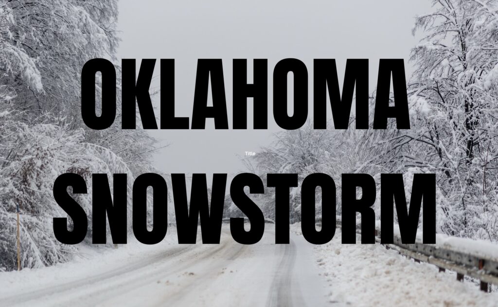
OKLAHOMA — The National Weather Service in Norman has issued a Winter Storm Watch for much of Oklahoma as a strong winter system is expected to impact the state from Friday afternoon through late Saturday night.
The watch covers a wide area of northwestern, western, central, and southern Oklahoma, including the Oklahoma City metro and extending toward the Texas border. Forecasters say the system has the potential to produce significant winter precipitation, creating hazardous travel conditions across the region.
According to the National Weather Service, snow, sleet, and freezing rain are all possible during the watch period. Northern and central Oklahoma are expected to see mainly snow, with accumulations of 6 inches or more possible in some areas. Southern Oklahoma, especially closer to the Red River, could experience sleet and light ice accumulation, with freezing rain amounts potentially reaching a few tenths of an inch.
Winter precipitation is expected to begin Friday afternoon, intensify Friday night and Saturday, and taper off late Saturday night or early Sunday. Strong cold air moving in behind the system will bring much colder temperatures and dangerous wind chills, increasing the risk of prolonged icy conditions.
Officials warn that roads could become snow-covered and slick, particularly on bridges and overpasses, and that travel may become difficult or dangerous during the storm. Power outages are also possible in areas that receive ice accumulation.
Residents are encouraged to monitor updated forecasts, prepare for winter travel conditions, and be aware that the Winter Storm Watch may be upgraded to a warning as confidence in snowfall and ice amounts increases.


