


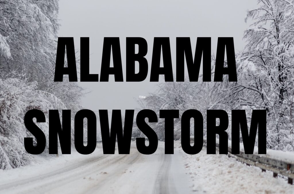
ALABAMA — The National Weather Service has issued a Winter Storm Watch for northern and much of central Alabama, in effect from Friday evening through Sunday afternoon, as a significant winter weather system approaches the region. The watch covers areas generally north of Interstate-20, including Huntsville, Gadsden, Oneonta, Jasper and other communities across the northern third of the state.
What the Watch Means
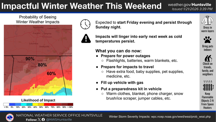
A Winter Storm Watch signals that conditions are favorable for hazardous winter weather, including freezing rain, sleet and snow. Under current forecast guidance, significant ice accumulations are possible across much of northern Alabama — with some guidance showing as much as up to ¾ inch of freezing rain in parts of the watch area. Even lesser amounts of ice can make travel extremely dangerous.
Meteorologists emphasize that moderate to heavy snow is possible across the Tennessee Valley, but ice and freezing rain — especially where temperatures remain below freezing — may be the main story for much of the state.
Timing and Impacts
- Timing: Precipitation is expected to develop Friday night and continue through Saturday into early Sunday, with freezing rain and sleet likely in many areas.
- Ice Accumulations: Ice buildup on roads, bridges, power lines and tree limbs increases the risk of hazardous travel and infrastructure damage. Forecasts show significant ice amounts where sub-freezing temperatures persist, particularly north of I-20.
- Snow Possibility: Higher elevations and northern counties could see snow in addition to ice, which may contribute to slippery conditions.
Hazardous Conditions Expected
The combination of freezing rain, sleet and snow — along with rapidly falling temperatures — creates a high risk of slick roads and wind-blown snow. Ice accumulating on power infrastructure can lead to downed lines and widespread outages, compounding travel and safety concerns over the weekend.
Officials also note that arctic air entrenched behind the storm will keep temperatures below freezing for an extended period, meaning any ice that forms may linger on roadways and surfaces well into next week and delay recovery efforts.
Preparation and Outlook
Residents in the watch area are urged to monitor updates from the National Weather Service and local emergency officials, prepare for dangerous travel conditions, and check on plans for schools, workplaces and essential services. Widespread power outages and treacherous road conditions are possible if forecast ice amounts develop as expected.
The Winter Storm Watch may be upgraded to a Winter Storm Warning or an Ice Storm Warning if confidence increases in specific impacts and timing as the event gets closer.


