


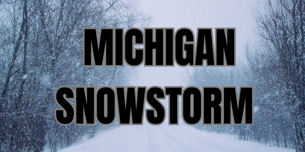
MICHIGAN — Several regions across western and northern Michigan are facing hazardous winter weather as lake-effect snow and strong winds continue through Thursday morning, according to the National Weather Service.
In Cass County, a Winter Storm Warning remains in effect until 1 p.m. Thursday. Forecasters say areas west of Cassopolis and near the Berrien–Cass county line could receive 6 to 12 inches of snow, while eastern portions of the county are expected to see 2 to 5 inches. Gusty north to northwest winds up to 35 mph may lead to blowing and drifting snow, significantly reducing visibility and making roads hazardous.
Farther west, Allegan County and Van Buren County, including the cities of Holland and South Haven, are under a Winter Weather Advisory until 7 a.m. Thursday. Snow accumulations are expected to range from 1 to 3 inches inland, increasing to 6 to 8 inches along and west of Interstate 196. Winds gusting up to 45 mph could produce blowing snow and rapidly changing travel conditions.
Similar conditions are expected along the Lake Michigan shoreline in Mason County, Muskegon County, and Oceana County, including Ludington, Muskegon, and Hart. These areas could also see up to 6 to 8 inches of snow near and west of U.S. 31, with lesser amounts farther inland.
In northern Lower Michigan, Winter Weather Advisories are in effect for Leelanau County, Benzie County, Grand Traverse County, Manistee County, and Wexford County. Additional snowfall of 2 to 6 inches is expected, with locally higher amounts possible. Winds gusting near 40 mph may lead to periods of blowing snow and near-whiteout conditions.
The National Weather Service warns that travel could become very difficult, particularly during the Wednesday evening and Thursday morning commutes. Motorists are urged to slow down, use caution, and be prepared for rapidly changing road and visibility conditions during lake-effect snow events.


