


VIRGINIA — A winter storm system is expected to bring accumulating snow to a large portion of Virginia on Monday, with travel impacts likely during both the morning and evening commutes.
The National Weather Service has issued several Winter Storm Watches and Winter Weather Advisories across the region, including central, south-central, and western Virginia.
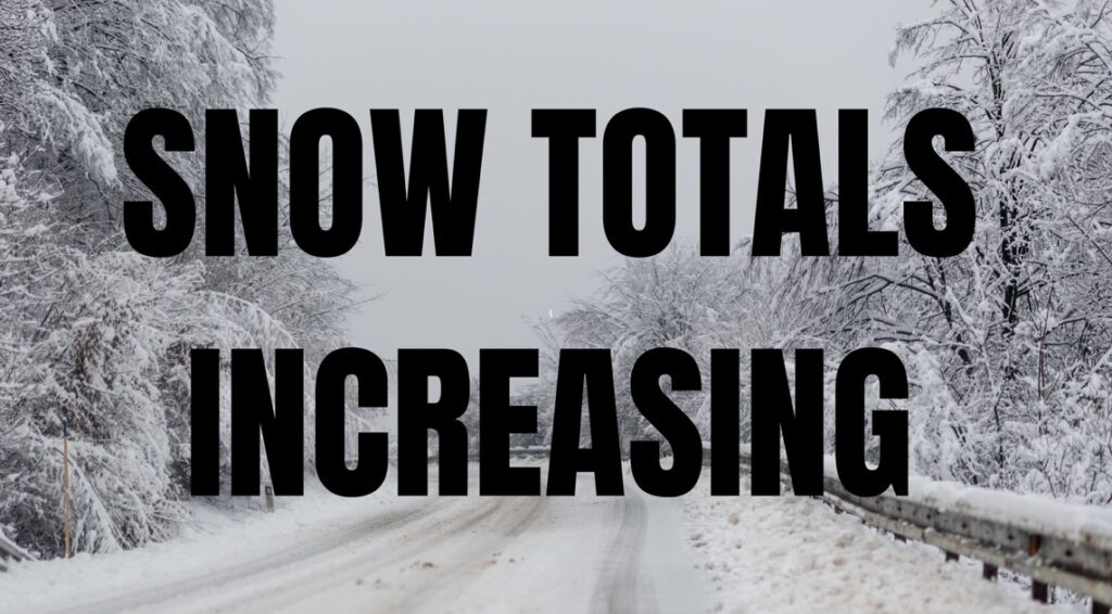
3–4 Inches Possible in South-Central Virginia
Counties under a Winter Storm Watch from Monday morning through Monday afternoon include Prince Edward, Mecklenburg, Lunenburg, Nottoway, Brunswick, Dinwiddie and Greensville.
These areas could see 3 to 4 inches of snow, with locally higher amounts possible. Forecasters warn of slippery roads and hazardous driving through the day.
1–3 Inches Expected from Lynchburg to the Danville Region
A Winter Weather Advisory from 1 a.m. Monday through 1 a.m. Tuesday covers a wide stretch of Virginia, including Amherst, Bedford, Franklin, Henry, Pittsylvania, Campbell, Appomattox, Buckingham, Halifax, and Charlotte counties, along with the cities of Lynchburg, Danville, South Boston, Martinsville, Stuart, and Keysville. These areas can expect 1 to 3 inches of snow and potentially higher totals in isolated spots.
Snow for the Richmond Metro Area
Another advisory from 6 a.m. to 10 p.m. Monday includes Richmond, Chesterfield, Henrico, Colonial Heights, Petersburg, Cumberland, Amelia, Powhatan, Prince George, and Charles City. These localities are forecast to receive 2 to 3 inches of snow, likely causing slick roads during peak commute hours.
To the northeast, Fluvanna, Goochland, New Kent, Middlesex, Hanover, and Louisa may see up to 2 inches of snowduring a separate advisory lasting 6 a.m. to 6 p.m. Monday.
Western Virginia and Blue Ridge Totals
In western parts of the state, including Augusta, Albemarle, Nelson, and the Central Virginia Blue Ridge, a Winter Weather Advisory from 5 a.m. to 5 p.m. Monday calls for 1 to 3 inches with up to 4 inches along the higher mountain ridges. Snow is expected to arrive early Monday and taper off by afternoon.
Travel Impacts Expected
Meteorologists emphasize that even moderate snowfall will lead to slick roads, reduced visibility, and slower travel statewide. Interstate corridors, rural highways, and bridges may become particularly hazardous.
Drivers are urged to:
- Slow down and use caution
- Allow extra time for travel
- Check road conditions by calling 511
The National Weather Service advises residents to monitor updates as forecast amounts may change. Additional advisories could be issued if snowfall intensifies.


