


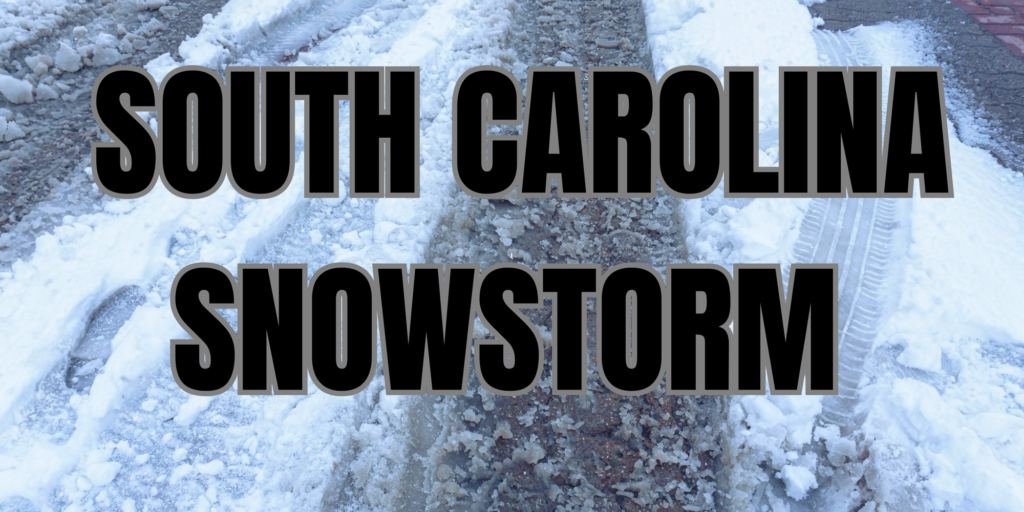
SOUTH CAROLINA — The National Weather Service has issued a Winter Storm Warning for much of South Carolina, with heavy snowfall expected through Wednesday morning.
Snowfall and Ice Accumulation
Snowfall totals are expected to range from 3 to 5 inches, with locally higher amounts possible. Some areas along the coast may also experience sleet and freezing rain, leading to additional ice accumulation of up to one-tenth of an inch.
Impacted Areas
The warning covers numerous counties across South Carolina, including Allendale, Beaufort, Charleston, Dorchester, Hampton, Jasper, and Colleton. Cities such as Charleston, North Charleston, Mount Pleasant, Summerville, and Beaufort are included in the affected area.
Hazardous Travel Conditions
Roads, bridges, and overpasses are expected to become slick and hazardous.
The storm could cause significant travel disruptions, especially during Tuesday evening and Wednesday morning commutes. Ice buildup on suspension bridge cables may lead to falling ice hazards.
Precautions and Safety Measures
Officials advise residents to stay indoors if possible and avoid unnecessary travel. Those who must be on the road should drive with extreme caution and carry an emergency winter kit, including:
- A flashlight, food, and water
- Blankets and extra clothing
- Tire chains, booster cables, and a shovel
Additionally, individuals should dress in layers and cover exposed skin to reduce the risk of frostbite or hypothermia.
Stay Updated
For the latest road conditions, residents can dial 511 or check local news updates. The winter storm is expected to persist until noon Wednesday, with conditions improving later in the day.
Your latest forecast may be viewed at weather.gov.


