


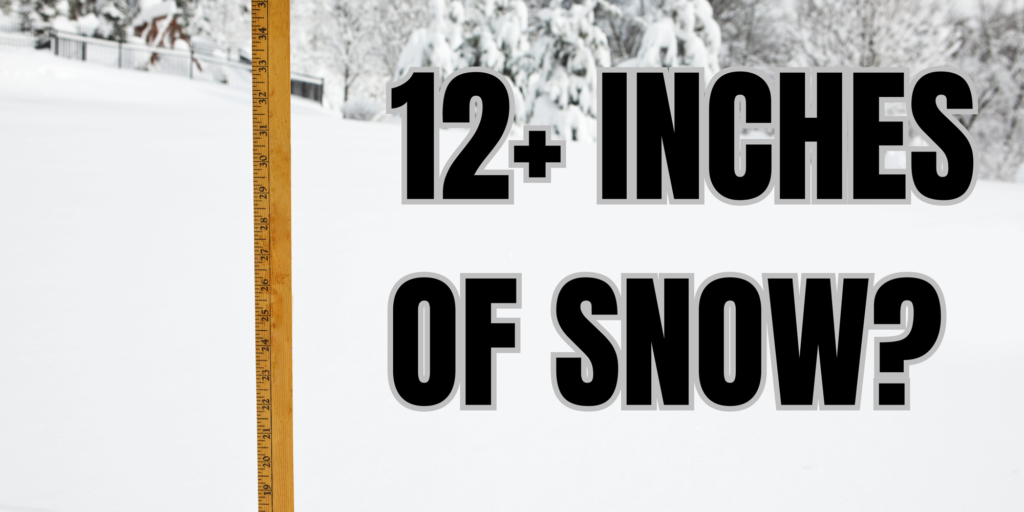
INDIANA — Indiana’s winter climate history shows that it is possible for a single February storm system to produce a foot of snow in parts of the state, even though such events are relatively uncommon.
February is typically one of Indiana’s snowiest months, with long-term averages ranging from about 6 to 12 inches statewide, depending on location.
Northern Indiana generally records higher totals than central and southern portions of the state, largely due to colder temperatures and proximity to Lake Michigan. While much of Indiana’s February snowfall often comes from multiple smaller systems, historical records confirm that significant accumulations can occur from a single, well-organized storm.
Past weather data indicate that large snowfall totals in one system usually happen when several factors align. These include sustained cold air already in place, a strong low-pressure system tracking through or near the Ohio Valley, and sufficient moisture wrapping into the system. When these conditions persist for 12 to 24 hours, snowfall rates can remain steady enough to allow accumulations of 10 to 12 inches or more.
Indiana has experienced several February storms in past decades that produced snowfall totals near or above one foot, particularly in northern and central counties. In some cases, these events were associated with classic Midwest winter storms rather than lake-effect snow, which tends to affect areas closer to Lake Michigan and can occur over longer periods.
Climatological records from the National Weather Service show that while a foot of snow from one February system is not the norm, it falls well within Indiana’s historical range of winter weather outcomes. Such events are more likely during prolonged cold spells, when temperatures remain low enough to prevent mixing with rain or sleet and allow snow to accumulate efficiently.
These historical examples illustrate possibility, not expectation. A single-system snowfall of that magnitude remains relatively rare, but Indiana’s past weather data confirms it is a scenario that has occurred before during February winters.


