


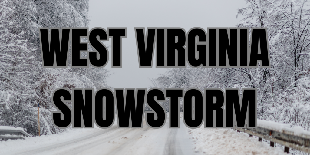
WEST VIRGINIA — Several mountain communities in West Virginia are preparing for a significant winter storm that could bring heavy snowfall and dangerous travel conditions beginning Wednesday.
The National Weather Service has issued a winter storm watch for portions of Pocahontas, Randolph, Webster, Tucker, Grant, and Pendleton counties, lasting through Thursday afternoon.
Areas such as Snowshoe, Harman, Davis, Thomas, and Canaan Valley are among those at risk for accumulating snow.
Forecasts show most locations could receive between 4 and 7 inches, while higher elevations in Pendleton and Grant counties could see close to 10 inches by the time the system moves out. The storm may start as rain early Wednesday before shifting to steady snow later in the morning, increasing in intensity into the afternoon and evening.
Forecasters warn that winds will be a major concern, with gusts expected to reach 45 to 55 mph. Blowing and drifting snow could lead to whiteout conditions at times. Slick roads, limited visibility, and falling tree branches may make travel hazardous, particularly for Wednesday’s evening commute and Thursday morning. Power outages are also possible due to heavy, wet snow combined with strong wind.
Officials urge residents to plan ahead, avoid unnecessary travel during peak snowfall, and continue monitoring weather updates as the storm approaches.


